Showing posts with label grovelsjon. Show all posts

Sunday, 6 December 2015

A lot of reindeer and a bit of skiing


This morning I woke up to a beautiful sunrise and no cloud in the sky. I got ready quickly, to not miss any of the daylight and got my equipment from the car. Such a nice feeling to stand on the skis again! 
As soon as I got away from the cross country track though the snow showed it's true face and it was a crust of ice with some melted slush underneath. Needlees to say it was very very hard to go uphill in these conditions. I have no skins on my skis (because I don't own any) and it felt a lot like going on an escalator that goes the wrong way. After about 45 minutes I looked back and I realized that I wasn't going anywhere. So I decided to drop my plans of getting to the top of Jakobshöjden for today. The way down took me about three minutes.
As I was already rushing downhill, I continued to the nearby lake and then up again to the mountain station. 


I drove to Idre, which is 40km away, to look for some skins, fuel the car and do some shopping. On the way I encountered at least a hundred reindeer that were licking the salt of the street. They are completely crazy about the salt that is used by the snowplow in order to make the road less slippery! Some moved away as the car approached, others couldn't resist and continued to lick the asphalt, even as I was half a meter away. I got out of the car several times just to look at them. One even came to me and sniffed on my hand. Unfortunately for the reindeer my hands were not salty.


would you guys mind to move a little? 

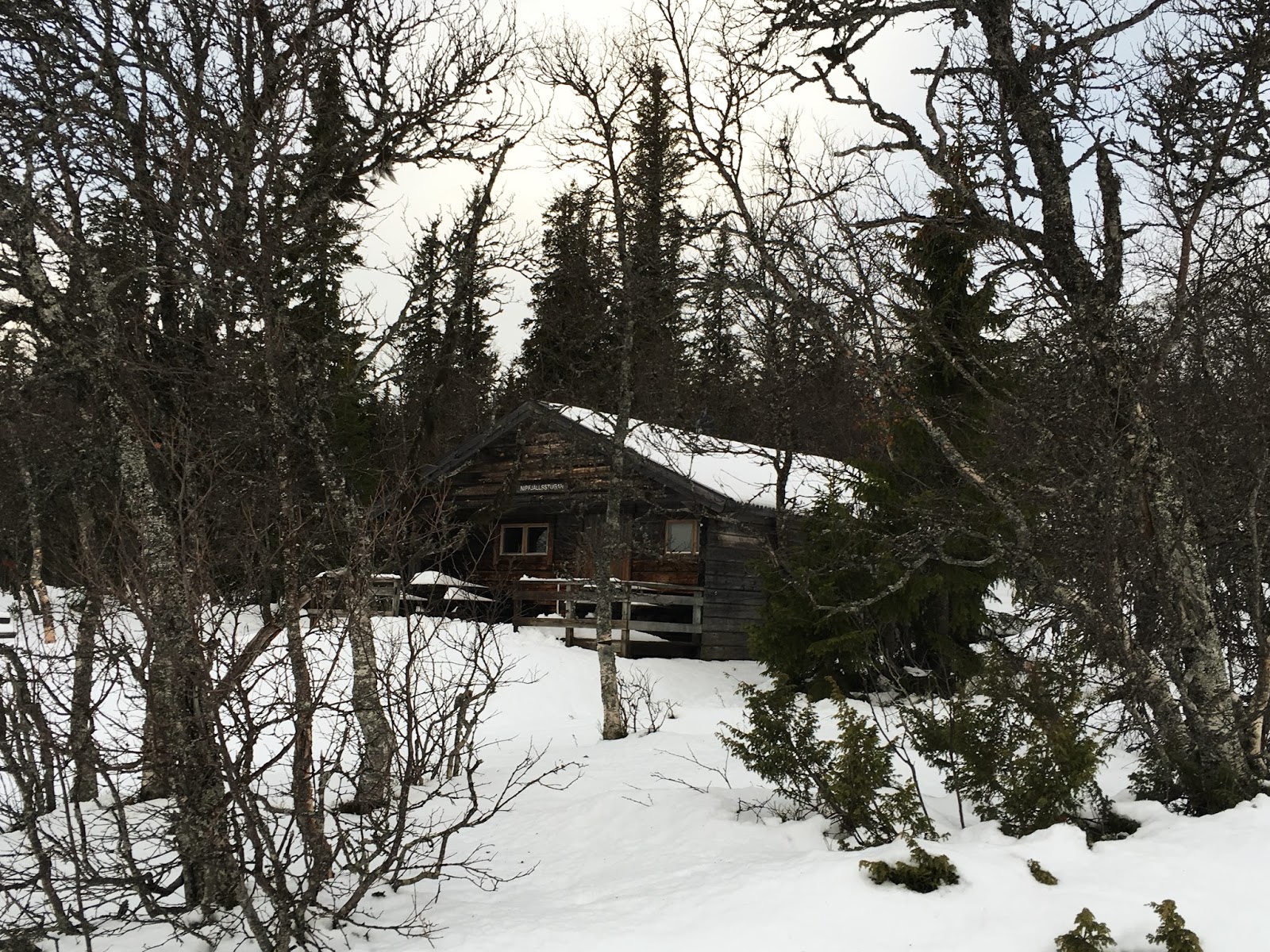
Nipfjällsjugan

"Got some salt?"

Sámi flag, as Idre is Sweden's southern most part of Sápmi

Storsätern Kapell

3 pm sunset over the STF Fjällstation

Saturday, 5 December 2015

The first snow!

...At least the first snow for me this winter. 

After some 8 hours of driving I came to Grövelsjön Fjällstation, where I'll stay for some days enjoying the cold and the snow. So far the weather hasn't been all too winterly. Along the way it was mostly storm, rain and melting snow. Even up here, on 62º North and 800m over sea level it's 3ºC positive right now, and that in the middle of December. I hope for it to become colder soon. 

Here are some first impressions:


On the way the street conditions were not really fun. It was actually kind of terrifying. I have aboslutely no problem with driving on snow, but slushy ice and a lot of rain falling on top is not really in my comfort zone. Saw a guy putting on snow chains and I think it might have been a good idea. At least my car has some studded tires that make it a bit less slippery. I'm already dreading the way back home next friday :P


But now no more driving and enjoying the coziness :)


Plans for tomorrow are to make a topptur. It looks like it should be sunny and depending on the snow conditions I will take my backcountry skis, or maybe just winter boots. I might put crampons in my backpack, in case it gets really icy and steep. Thinking about Storvätteshågna (1204 m, Dalarna's highest peak), or alternatively Jakobshöjden, which is closer and about 1100m high. 
It would be awesome to get a view over the snowy landscape on my first proper day here! I hope there will be no clouds or fog. Doesn't look impossible, maybe just a little bit windy.


Saturday, 28 November 2015

Plans for a big hike in 2016

On a rainy, dark evening, between to long work days, there's nothing better than dreaming about what to do next year!

My goal is to go on one longer tour, outside of the dimensions of what I usually do. Most hikes I've done resume around a week or 100km, but I want to know how it feels to be on tour for a longer time and achieve something bigger. I don't dare yet to put this tour into winter time and go on a long backcountry ski tour. It would feel like I'm not experienced enough when it comes to camping in the snow or dealing with a storm which forces me to dig a snowhole, to wait it out. I will definitely do a winter tour, but it will be something shorter and probably involve sleeping in huts. 

For the summer I have had several ideas: Nordkalottleden, that goes 800km through Norway, Finland and Sweden, Gröna Bandet, from Grövelsjön in Dalarna to Treriksröset, the most northern point of Sweden, or even Norge på Langs
Thoughts of the advantages or disadvantages of these tours so far: Nordkalottleden seems to be quite doable and I feel like I know the area already quite well. Part of it is the northern terminus of Kungsleden, the stretch from Abisko to Singi, about 100km. Another part of about 70km is shared with Padjelantaleden, which I hiked last summer. Overall the trail doesn't cut straight through the landscape but wiggles around. The aim is not to come a long way from one point to another but to experience a lot of different places, switching from one country to another. 

Here's a map of Nordkalottleden


I think I would really enjoy this trail, at the same time it just doesn't pose the adventure and challenge that Gröna Bandet or Norge på Langs, does. On these two trails you always know what you are going for: to cross the whole country, or at least the whole mountain range. I like this kind of feeling. It's this possibiliy to complete something, to have finished something from the beginning to the end. I find this very satisfying. 


Gröna Bandet (the green ribbon)


I just drew this line on the map to show more or less how it does look. It's not a single trail designated as Gröna Bandet but there's an abundancy of different trails, that one can make use of. So I could choose to take the easiest, quickest way through, or even do the whole Nordkalottleden on the northern end. Without taking any bigger detours the trip whould resume itself at about 1300 to 1400km
There is an organized way to tackle this challenge, it's basically a website where you sign up and have to go with a GPS so you can be tracked all along the way. You can find it on www.vitagronabandet.se
I'm not so sure yet if I would do that. On one hand there's no real need to sign up for something like that, you can just do in on your own. On the other hand knowing that your blog is featured on their page and that they even follow you with facebook posts etc. can give that extra little pressure that one needs to make it through a tough day. Giving up gets a little bit harder. 

When it comes to Norge på Langs this is the trail I know the least about. It's really long. 
Last summer I met a Swiss guy who was doing this hike and it kind of inspired me. According to www.norgepaalangs.info only 320 people have completed this trail, and that since 1951! Yes, that's a real motivation. 
I'm not sure how long it would take and I think it would be about twice as long as the hike through the Swedish mountains, so about 2600km. It should be doable in about 4 to 5 months I guess. This one I would definitely only tackle with a hiking partner. If you're interested, just write me! ;)

Here's apicture from the webpage I linked above, that shows how it could look:

Norge på Langs


Thursday, 26 November 2015

Resuming 2015, part 4: autumn in Sweden.

This is the last part of what is like a summary of my outdoors 2015. Since the year is not over yet, this part will stop by the end of November, and there's still another adventure to be had! 

Back in october I went to a Bushcaft course that was specialized on axe skills, given by Nordic Bushcraft, close to Jönköping. I learned a lot of useful basics when it comes to handling a tool like an axe. Those things can be damn dangerous if you don't know how to use them and one single mistake can be the end of your foot or hand. We even did a lot of different fires, which is something I'm really into. There are so many different ways of starting a campfire, depending on the materials and situation. On the pictures below you see a fire which i call a flame-baguette. It's a traditional Sámi fire, that was/is used to stay warm during the night, while you are sleeping. It burns slowly and does not spread too much heat. 
For all of you who speak Swedish I can even recommend the book Eld from the author Yngve Ryd, in which he interviews a row of Sámi people who talk about their knowledge about different fires among other interesting topics regarding the Sámi culture. 


Other things we did on this weekend were: eating a lot of bacon and egg and building some tools. This bowsaw, that you can see on the second picture, took me several attempts. Bending the branch, that I chopped of a fir over the fire was not that hard, but getting the metal part screwed into the branch without breaking the wood was not quite that easy. 


On another weekend in october I went to Tresticklan Nationalpark, which is located just by the Norwegian border, only two hours of a drive north of Gothenburg. It seems to me like it's one of the 29 Swedish nationalparks that tend to be forgotten, or the least to say: less popular. 
It's my goal to visit all of the nationalparks, so I figured out this one was the next on my list, since it's not too far away and it seems to be a fitting place for an autumn hike. We walked from the parking into the forest and it was a really magical, green, mossy forest. I always especially like it when I know there could be a lot of wild animals around, even when I usually don't get to see them. In Tresticklan there are wolves, lynx and sometimes even bears, just to list some of the predators. 
We walked about 5km through the forest to come to the Norwegian border, which runs through a little stream. There's a cute little sign on the middle of the bridge, which you see on a picture below. Despite the short walk we had decided to spend the night in Budalsvika hut, which also belongs to DNT. It felt like a real adventure spending a night in a forest hut, without electricity, phone reception or running water. It was a bit scary but also quite cozy. 


Budalsvika, a hut from the Norwegian Hiking Association (DNT)

If you want to enter the building you need to order a key that fits these locks, same in huts all over Norway. 

The cute, little border between Norway and Sweden.

In the end of October I was lucky enough to get a week off from work and me and my friend Lea went on a trip to Dalarna and Norway. We drove about 700km to Grövelsjön, a little village with Sweden's most southern mountain station and the offical beginning of the Scandinavian Mountains inside Sweden. We spend the first nights in the STF mountain station and did some day hikes around. The weather was brilliant, not a single moment of rain. Unfortunately there was no snow yet either.
Me looking at Städjan


After two days of warming up we hiked over the mountains to Hävlingen, a hut 15km away from the next sroad and as well without any electricity. It was expecially exciting since it was Halloween and we were probably the only people to be around and the first ones to come there in some weeks. It actually felt a bit creepy. It didn't get better when we realized that there was no petroleum lantern or candles and we were having 16 hours of darkenss ahead of us. Oh, and also you couldn't lock the door. In the end it turned out to be a nice evening: we had our headlights and some small candles I found in my pack, and we lit a cozy fire in the oven. It was a really nice expeience and it centrainly wouldn't have been the same if I went on my own. 


I want to come back here when there's snow and ice everywhere... And also in summer to paddle around on the lake and cath some fat fishies....

Evening light at 2.30pm.


The day after we went over to Norway, more exactly to Femundsmarka Nasjonalpark and spent the night in a little hut in Elgå. Our plan was to hike into the nationalpark and sleep over in the forest. In the end we changed our minds and decided to climb the peak on the highest mountain around, Elgåhogna with 1640m over sealevel. It was an awesome tour, quite a lot of gravel and a steep slope closer to the top. Once we were on the peak we could see all over the area, at least some 50km into every direction. It was really awesome- until my camera broke. So half of the pictures I upload here are actually taken with my old iPhone 4. 


Taking a closer look the map

Start of the trail to the top

The views get better


it's always a good feeling to have achieved something. Even more with weather like this in the first week of November, 


Later in November Lea visited us and we spent a day fishing and sitting by the campfire. You don't always have to drive far away to have a little adventure or spend a day that makes you feel glad. As you can see on the picture below we were embarassing enough to all wear the same hat. But to be honest this Norrøna wool hat is like the warmest and coziest thing that ever touched my head. Also I was the one who had it first!